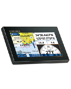
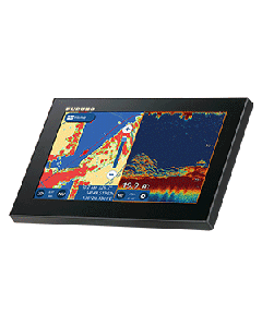
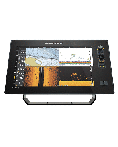
GPS Chartplotters
A GPS Chartplotter is a highly useful and commonly available electronic device used in marine navigation that integrates GPS data with an electronic navigational chart. The chartplotter displays the chart along with the position, heading and speed of the ship, and may display additional information from radar, automatic information systems (AIS) or other sensors. As appropriate to particular marine applications, chartplotters may also display data from other sensors, such as echolocators/sonar.
-
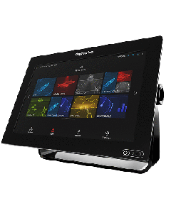
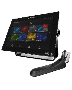
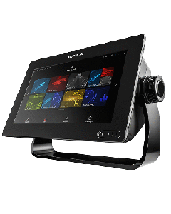
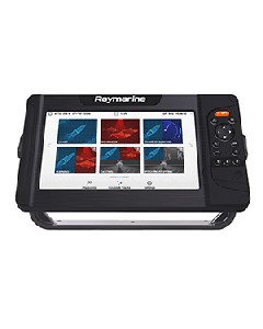
 Axiom+ 9 - 9" MFD Chartplotter w/Navionics+ Chart E70636-00-NAGSpecial Price $1,403.60 Regular Price $1,461.99
 -
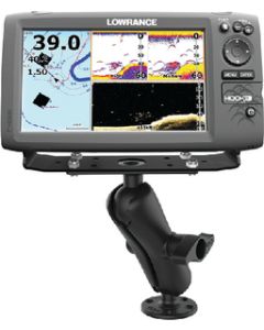
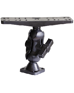
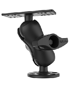
 Ram Mount Universal D Size Ball Mount for 9"-12" Fishfinders and Chartplotters RAM-D-115Special Price $163.99 Regular Price $173.99
 -
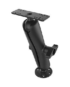 Ram Mount Universal D Size Ball Mount with Long Arm for 9"-12" Fishfinders and Chartplotters RAM-D-115-ESpecial Price $186.99 Regular Price $194.99
 -
 Ram Mount Universal D Size Ball Mount with Short Arm for 9"-12" Fishfinders and Chartplotters RAM-D-115-CSpecial Price $132.49 Regular Price $138.49
 -
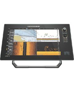
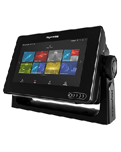
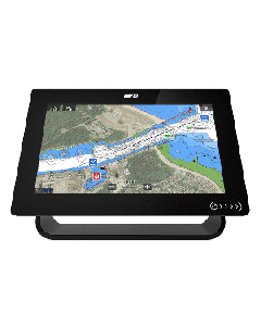
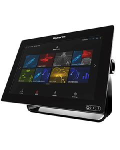 Raymarine Axiom™ 12 - 12" MFD Chartplotter w/Navionics+ Chart E70368-00-NAGSpecial Price $2,599.99 Regular Price $2,661.99
 -
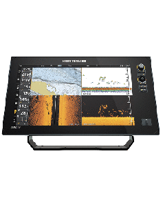
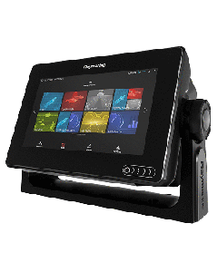
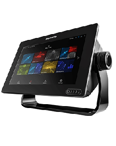 Raymarine Axiom™ 9 - 9" MFD Chartplotter w/Navionics+ Chart E70366-00-NAGSpecial Price $1,149.99 Regular Price $1,211.99