C-Map C-Map Max Lakes East CMA-NAM018
$136.01
Out of stock
SKU
JMS262653
C-Map C-Map Max Lakes East CMA-NAM018
C-Map C-Map Max Lakes East CMA-NAM018
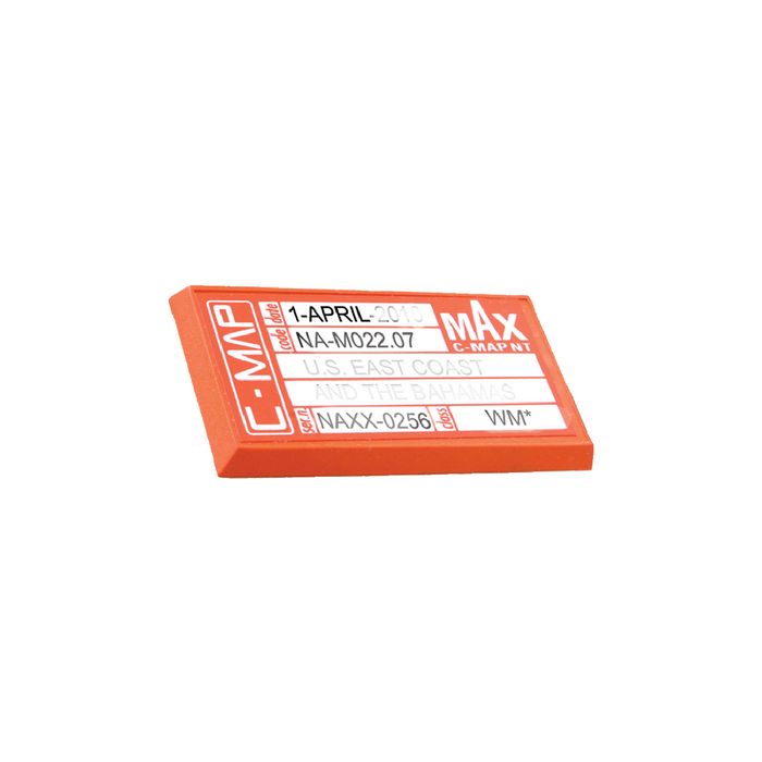
Features: Tides and currents, perspective view, elevation marina detail, photos and diagrams, points of interest, marina charts, coastal roads and land elevations.W73 NA-M022 USA East Coast and the Bahamas
Coverage of the United States Atlantic coast from Passamaquoddy Bay, ME down to Key West, FL, with extended coverage into the Gulf of Mexico over to Perdido Bay, FL. Includes coverage of Bermuda and all of the Bahamas. Also includes coverage of the Hudson River, Lake Champlain, Erie Barge Canal, Savannah River, St John's River and Okeechobee Waterway. Caribbean coverage includes charts from Explorer Chartbooks and Wavey Line Publishing.
W76 NA-M027 Central America and Caribbean
Coverage of Central America, all of the Caribbean and the northern coast of South America, and the Gulf of Mexico. Coverage of the Pacific coast starts at Point Conception, CA and runs down to Bahia Cupica, Colombia. Coverage of the Atlantic coast starts in Cumberland Sound, GA and runs down around Florida and over to Brownsville, TX. Bahamas, Turks and Caicos and all islands of the Caribbean are included. South American coverage includes the northern coasts of Colombia and Venezuela over to Rio Orinoco, including Trinidad and Tobago. Caribbean coverage includes charts from Explorer Chartbooks and Wavey Line Publishing.
Territory: East
SKU: CMA-NAM018
Manufacturer: C-Map
Category: Electronics>C-Map Electronic Charts
| UPC Code | 686074001732 |
|---|---|
| Manufacturer Part Number | NAM018 |
| Manufacturer | C-Map |
Write Your Own Review